Australian suburb data is complex - we have suburbs with multiple postcodes, postcodes with multiple suburbs, postcodes which aren't suburbs, suburbs that span multiple local councils and elecorates etc...
When things get complex we choose accuracy.
As an example - when a suburb spans multiple local councils we'll provide you with a breakdown of the percentage that falls within each electorate. You won't find this data anywhere else!
| postcode | location | lga | lga_detailed |
|---|---|---|---|
| 2321 | CLIFTLEIGH | Cessnock, Maitland | [{ "lga": "Cessnock", "lga_code": 11720, "lga_coverage": 74.40 },{ "lga": "Maitland", "lga_code": 15050, "lga_coverage": 25.60 }] |
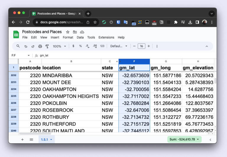
With an Excel-based poscode and suburb list, you have the flexibility to sort and filter data according to your specific needs. We have more advanced formats available, but Excel is still our favourite when it comes to quickly sorting data. You can quickly filter out postcodes which are used by AusPost for administration but aren’t actual suburbs, or remove suburbs with populations below a given threshold. With such easy filtering and sorting choosing to use our database in Excel format will empower you to make data-driven decisions with ease.
Maintaining a current database is vital for success. Trust Postcodes and Places’ data file, the most accurate and up-to-date list of postcodes and suburbs in Australia, to keep your postcode data accurate. Don’t compromise the integrity of your database – rely on us.
Once you get a comprehensive list of postcodes in excel format it’s time to unleash its power. Utilize this list for targeted marketing, demographic analysis, logistics planning, customer service enhancement, and data integration. Tap into the potential of a meticulously maintained and up-to-date postcode list to gain a definitive advantage and optimize your operations. Let this valuable resource propel you towards success!
| File Type | Description |
|---|---|
| CSV | Comma-Separated Values |
| XML | Extensible Markup Language (nested) |
| XLSX | Microsoft Excel Format |
| JSON | List of JSON elements (nested) |
| geoJSON | geoJSON file format - basically the same as the JSON version but made for mapping software. All localities are represented as POINTS. |
| SQL | Text file containing INSERT statements for TABLE, COLUMNS and DATA. Types used - VARCHAR, TEXT, NUMERIC, BIGINT, JSONB. All columns are unconstrained. Compatible with Postgres, SQL Server 2022, Azure... Alternative column INSERT commands are also included for databases that aren't happy with the above types or lack of constraints: Types used - VARCHAR, NUMERIC, BIGINT. All columns constrained to maximum size\/length occuring in the table. If neither work for your specific database software then the CSV might be your best option. |